- Category: Space Y News
- 2024-10-11
Sogei is pioneering the development of a cutting-edge solution to provide the Italian Revenue Agency with improved cadastral surveying. The solution uses the Galileo High Accuracy Service and GNSS Software-Defined Radio (SDR) technologies to address the issues of obsolescence and high cost of receivers, ensuring that these are fully reconfigurable.
Sogei is an Information Technology company fully owned by the Italian Ministry of Economy and Finance. The company has a long-lasting experience in managing the Italian Cadastral Map Update System.
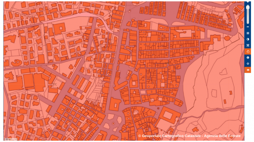
Cadastral Map updates are performed through cadastral surveying by private professionals, based on reliable and up-to-date GNSS and classical topographical tools and procedures (e.g. theodolites and Electronic distance Measurements, among others), with a centimetre or decimetre level accuracy. The Italian Revenue Agency then performs on-field validation activities on the submitted proposed map updates and carries out the Cadastral Map Update processing.
Cadastral Surveying is performed thanks to a network of around three million reference points distributed on the Italian territory, with known precise coordinates. GNSS surveying implies high costs related to the maintenance and renewal of the receivers placed in the reference points, that need to be substituted every five to seven years.
To reduce such costs, SOGEI is working on a solution that will allow users to choose among different high-accuracy services according to their needs (e.g. a low-cost service for some survey activities and a more expensive service with higher integrity for other kind of surveys).
The solution uses the Galileo High Accuracy Service and GNSS Software-Defined Radio (SDR) technologies to address the issues of obsolescence and high cost of receivers, ensuring that the devices are fully reconfigurable, while also providing the Italian Revenue Agency with improved cadastral surveying. The solution should be ready by the end of 2024 and fully operational by 2025.
Challenges addressed by the space-based service
Users like the Italian Revenue Agency, who need to regularly update their maps, face challenges to fully profit from technological advancements in GNSS:
- High cost of GNSS receivers: The GNSS receivers used to collect cadastral data through reference points are expensive, and also carry associated maintenance costs.
- Rapid obsolescence of traditional GNSS receivers: Rapid advancements in GNSS capabilities, constellations and frequencies, as well as provided services, make receivers rapidly obsolete, which can represent a significant challenge, especially for public administrations with limited budgets. As an example, the initial Galileo High Accuracy Service (HAS) was declared operational in January 2023, allowing users to achieve improved positioning performance in real-time. Nevertheless, to grasp the benefits of HAS, users will need to acquire new terminals or to adapt existing devices with especially-developed software.
Benefits of the space-based service
Sogei is creating a robust GNSS High Accuracy Service (with low-cost receivers and reduced service costs) specifically designed for cadastral surveying.
The solution integrates the Galileo High Accuracy Service and GNSS Software-Defined Radio (SDR) technologies. In addition, the Sogei GRDNet (GNNSS R&D Network) Augmentation System is part of this service bundle, providing state of the art RTK/NRTK and PPP solutions with full RTCM standard compliance.
The service aims at significantly improving the efficiency and cost effectiveness of the surveying processes carried out by the Italian Revenue Agency, using receivers that are both cost-effective and capable of adapting to evolving technological standards.
The benefits of using Sogei’s GNSS High Accuracy Service for cadastral surveying are numerous:
- Service differentiation: The service introduces a layered service model, offering institutions different levels of GNSS services that can be customised to meet specific needs.
- Customisable receivers: The GNSS SDR receivers will be centrally managed, allowing full customisation and adaptability to new standards or requirements.
- Enhanced security: With the integration of the Galileo Open Service Navigation Message Authentication (OSNMA), the system could incorporate in the future advanced anti-jamming and anti-spoofing capabilities, ensuring the integrity and security of GNSS data.
- Cost reduction: With the introduction of GNSS SDR technology, the receivers are now fully reconfigurable, significantly extending their operational life. This innovation ensures that receivers remain relevant and functional over time, adapting to evolving standards and requirements. As a consequence, the overall cost of cadastral surveying will be significantly decreased.
Implementation Timeline
Sogei’s new service is expected to be completed by the end of 2024 and to be fully operational by 2025.
Intended users
- Land administration and revenue agencies
- Cadastral offices
- Urban planners
- Law enforcement agencies
To sum up
Sogei’s development of an Institutional GNSS High Accuracy Service for cadastral surveying, combined with the innovative GNSS SDR technologies, marks a significant step forward in surveying methodologies, offering improved accuracy, safety and cost efficiency.
Sogei’s GNSS High Accuracy Service introduces different levels of differentiation to meet specific needs, providing a reliable and precise solution for cadastral surveying and other applications.
The service allows for the centralised management and customisation of GNSS receivers, which not only lower the initial cost of purchasing them, but also reduce maintenance and upgrade costs.

![]()